Order calendars via zakshawphotography@gmail.com or the secure Paypal option below.

Order calendars via zakshawphotography@gmail.com or the secure Paypal option below.
My 2014 calendar was entirely photographed on the western side of New Zealand's Southern Alps. "Land in the West" is printed at a size of A4 with twelve calendar month pages displaying stunning outdoor environment photographs. Take a look at my Facebook page to view all twelve 2014 calendar images! Order here via Paypal or email me at zakshawphotography@gmail.com if you would prefer to pay with online banking. Thanks for your support!
Calendar sales within NZ
Calendar sales international

Wednesday, October 25, 2006

Time to step up.

Day nine we found ourselves walking back into the river via a steep side creek.
Late the previous day we had paddled 20km and found ourselves overlooking a 200m long class 5 rapid.
Feeling the effects of an intense day out we opted to leave the boats and return with fresh minds the next day.

Photo - Mid way through, over the mushroom.

Impact!


Making it look good, Eden completes the entrance and gets ready to get hard right.

Back on the big river


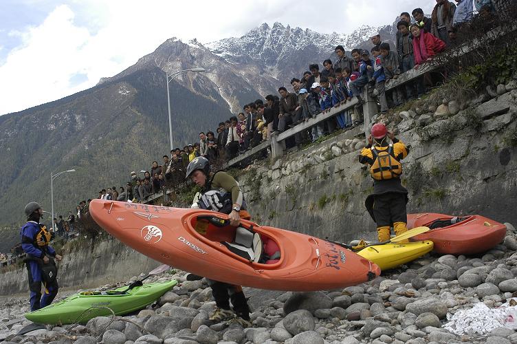
Team effort, local kids helped us get out gear from camp to the waters edge for the start of day 8.


Sneak line, with good reason. Dave and Matt avoid a huge pourover.


Centre is not where you want to be.
JJ, gets it right.

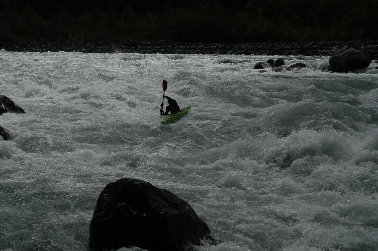
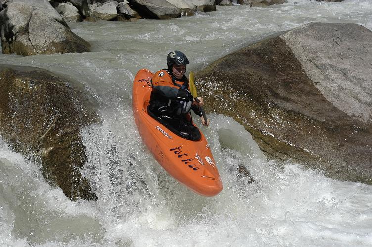
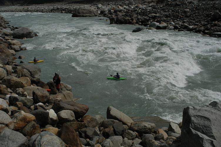
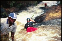
We found the whitewater quite intimidating. Generally we found big clear lines, whilst the features were massive they were often avoidable. Eddying out high above the rapids we would ferry glide the rivers width to get set up in the right place before comitting. The force and speed of the water kept us on the edge of our seats, and made us work for every inch of downstream travel.


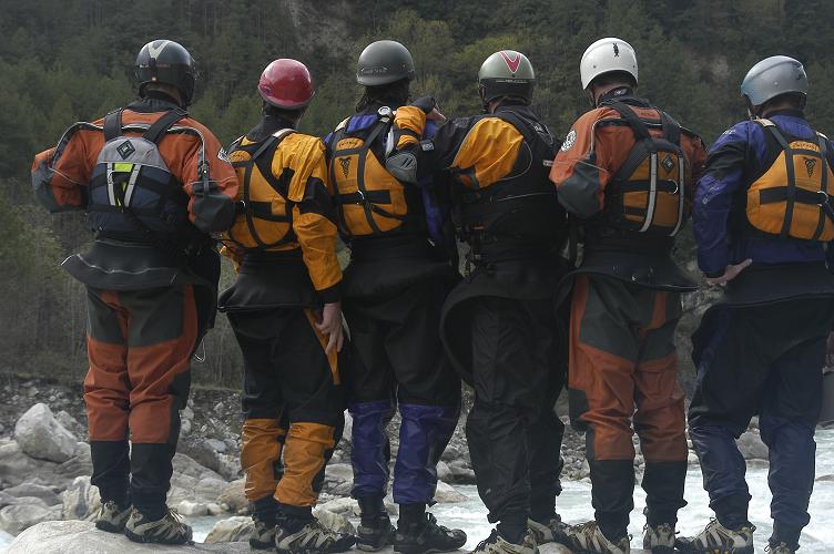
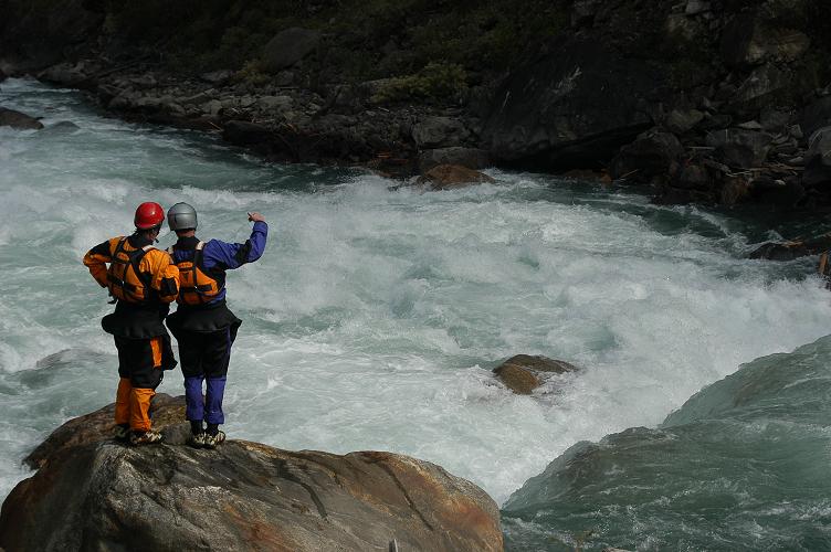
Full team scout, who's feeling brave?

Leaving Pomi

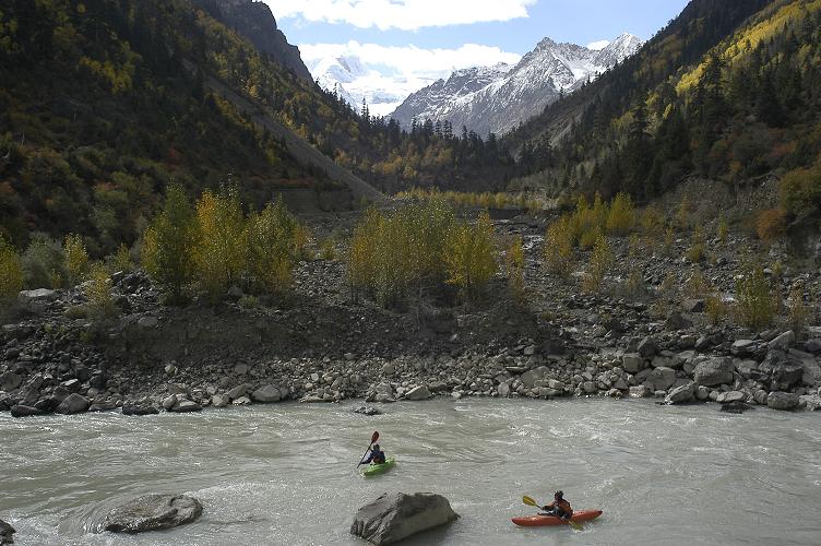
Heading out of town we settled into a few hours of flatwater linking the whitewater sections together. The suns baking rays made for a picture perfect day as we floated downstream on the current.

Hostel to the river, day 6


The people of Pomi were there to see us off.


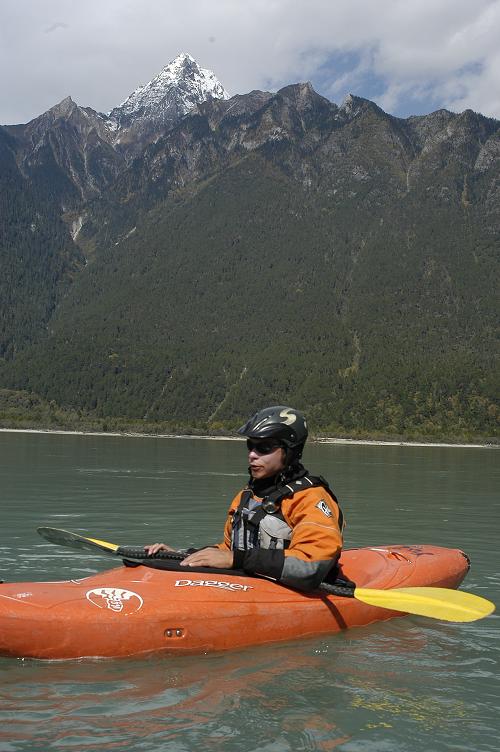
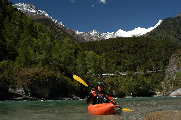
Matt Tidy, enjoys the mountain views.


35km float.


Our camp on day seven.
One kilometre away the river thundered. From camp we sat listening to the roar of the whitewater and wondered what lay instore for us.

Wednesday, October 18, 2006

Days 3-5 100km down 100 to go, Parlung Tsangpo


After three days we completed the upper 48km from lake to camp.
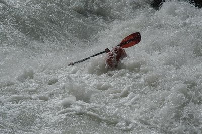

Day three - Into the "Pigs Trough" Im coming up!


Like a cork ejected from a bottle, Eden finds the light and more work to be done.


Day four we attempted to pick the pace up as very cold conditions kept us in the kayaks, we tried to minimise time standing still. Scouting out here takes time, because the rapids are generally long and complex, its can take a long time to piece them together.
We covered 30km in good time and found ourselves at 3pm descending into a huge gorge.
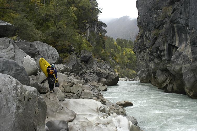
Clambering around high above river level we did our utmost to inspect available options to paddle the gorge and escape to the otherside.
Rigging and abseil line, eden dropped into the gorge further and climbed around to get a look at the rivers far left side. It was not to be, choked with boulders we deemed it unrunable and so began an arduous hike out.
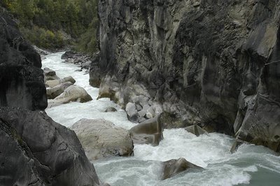

What we could see, right side, water flowing under rocks, left side???


Dave shoulders his kayak up out of the gorge.

Day 5
Our backs were hurting, elbows ached, shoulders due for rest. Enthusiasm was not in its usual high frequencies. Carrying kayaks we found a track back into the river below the un-runnable section of the gorge and began our fifth day with the vision of traveling a further 30km downriver to a town called Pomi.


Dave learning his lesson the previous day makes sure his kayak carry system is definately part of his kit. Heading back in for more potential punishment, day 5.

Our expectations of when we should have flatwater was wrong again! To our delight around the first bend the river now big in volume dropped away. Huge features, read and run with great scenery. The Parlung Tsangpo continues to impress.

Breaking down the Parlung Tsangpo


Our base camp for the first three days.

Day two began with little time to warm up, two class four rapids kicked things off as we attempted to close the gap between ourselves and camp one.
With 40km of whitewater and 500m in elevation to drop the day was destined to be a long one. Planning on getting as far as possible we set off, views of "China's most beautiful glacier" could be seen from the river.


Entering the second gorge, jj on edge but upright


Contiuous class four+ moves was the trend for the day, indispersed with the occasional harder or more consequencial line.
Surrounded by huge mountains and steep granite rock faces (great climbing to be had here to) we managed to descend about 13km before the cold became to much and our muscles could take no more.


The team enjoys a welcome rest during a flat stretch.

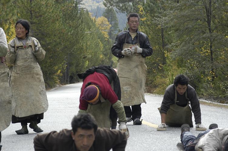
A journey of their own

They have been going for two months and have 700 kilometres to go. Their travels towards Tibets holy city of Lhasa happens rain hail or shine.


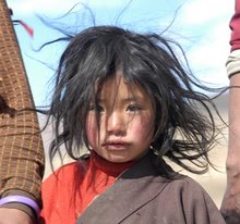
Tibetean pilgrims prostrating, "chaktsel pa"


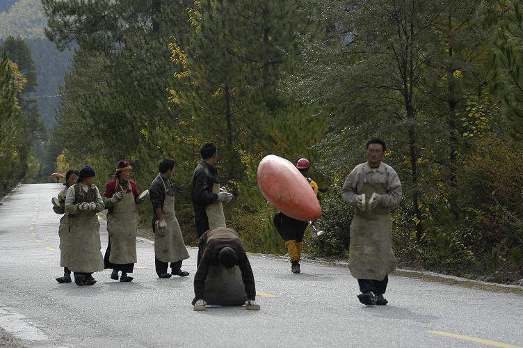
As we descend the Parlung valley we do so beside pilgrims making their way to Lhasa. Their path is via the road and ours the river, we have regular contact with familiar faces. Whilst the journey they are taking is of a more spritual/religious nature it surrounds ours with a very real and authentic vibe.


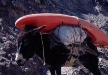
Photo - A man with plastic river thing.
Pilgrims getting distracted from the task at hand.


Ready to go, we almost recruited another paddler!


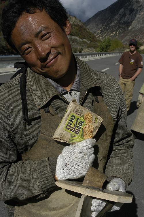
Big days, nourishing food a necessity. One square meal for the road.

Parlung Tsangpo


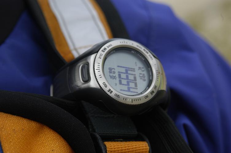
Put in elevation, 14354 ft

The full catchment of the Parlung Tsangpo has for the last five days been our focus. Whilst parts of this vast catchment have been paddled, it contains days and days of tasty big volume whitewater and as yet un-run sections. A gorge twenty five kilometres in length has seen no action and should we feel up to it we intend on making a descent this week. One added beauty that can be associated with the Parlung is in the fact thats its all roadside! This factor whilst removing the wilderness feel and most certainly the our level of committment to never seen before gorges does enable us to travel light, paddle with more manuverable kayaks which are not stern heavy, portaging is made easier and making lines and navigating downstream can be approached with a greater confidence.


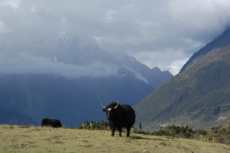
Photo - Fresh snow on the hills and feeling short of breath, our journey began high at the rivers source. Begining with technical moves and a creeky like feel, the flow of the Parlung was low. We are here in the prime time of the year for this river, its levels look manageable.


First move of the day. Rocks like cheese graters, silty water camoflaged the submerged boulders.
JJ getting warmed up.


-

Last stroke right side but im going left. Clean drop day one, we predict it will take twelve days to complete our descent.

Thursday, October 12, 2006

First descent Jepu Chu


Photo - The Jepu catchment

The day was by far the coldest we have had, fresh snow settled all day and a chiling wind blew directly up the valley freezing our hands and faces.


One may question pushing higher to run low volume steep creeks when you in a country that possesses some of the biggest rivers in the world.
The team shared mixed reviews about the Jepu, and we had a good time observing these reactions! Taking the good with the bad, we paddled 10km, and portaged numerous out of control rock infested rapids that had the boys cursing as the boulders we climbed up and over were covered in a greasy film of silt and slime.

One clasice in the moment comment to come from the day was during a particularly manky stretch. Myself loving the adventure conveyed this to one of the team who quickly said, "if your loving paddling this piece of shit river mate, you should go take a look at the crap that's all over Scotland"


Right at home, Eden Sinclair.


Six hours at river level, scouting every 30m, Matt Tidy, always a watchful eye.


A long cold day out but warming up and happy to be off before dark.Dave loves his tea!

We pulled the kayaks off the water, got changed in front of fifty
curious locals and headed straight to the nearest shack for a
warm meal and celebratory beer.

Finding big water, Yiong Tsangpo


20km, 600RMB taxi fare, Chembe (one of tibets few kayakers) joined us for a supposedly "slightly easier day"

With our bodies beginning to feel the strain of a few big days out we were keen to back the pace off for a day. Our previous three days had involved descents of testing long continous rivers and we were all feeling the effects of the river gradually wearing us down.


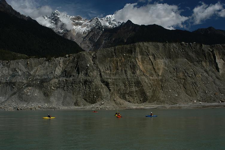
360 degree views, we were dwafted by the surrounding peaks and landslide debri.

In april 2000 a massive high elevation (4500-5200m) lanslide ripped out and formed a natural dam, the slips front edge spanning 3km.
The flood plains of Bangladesh and India recieved the full impact of the release once the pressure became to great.

The beta we had highlighted a 20km stretch of the Yiong Tsangpo that would see us put in below the massive lanslide. We expected class three whitewater, but upon arriving at our first proposition our mindsets for the day quickly changed from casual float trip to its class five and "this is the biggest volume whitewater run Ive been on"


More class three! Yiong Tsangpo


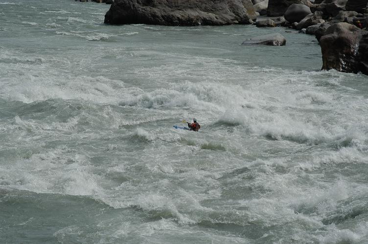
Its easy to get lost in there! waves coming from all directions,
breaking pillows of whitewater, trying to remember what do I need to avoid next?
your mind constantly questioning "am I online"
Sam Hughes is about to find out.

Tuesday, October 10, 2006

Late introduction, The Tibetean team


We have some of WindHorse adventures staff helping us get the job done out there.
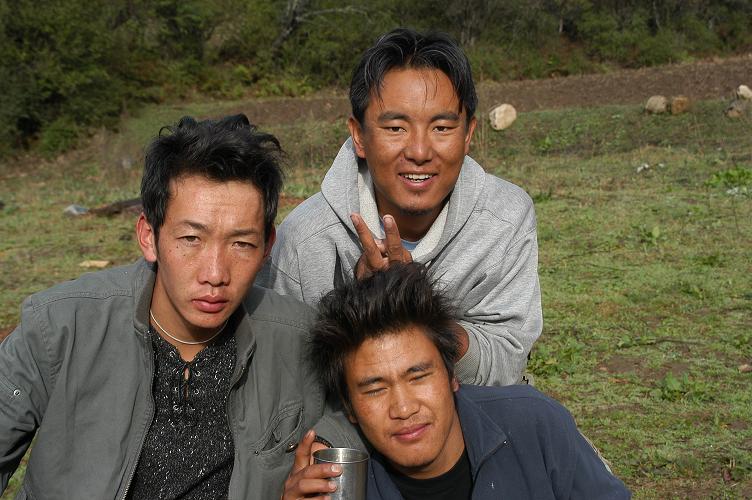
Behind the scenes Passang, Dawa and Chembe drive the roads, play and sind loud Tibetean music, help with logistics, try to catch pigs, sweet talk the locals ladies, negiotiate with government officials and introduce us to many typical Tibetean tastes as well as show us what not to taste.


After our days in the Tongjuk valley we made our way downstream. Our thoughts were that we had been playing on a big river. At the meeting point of the Tongjuk and Yiong Tsangpo we suddenly had the realisation that we had been on a mere creek comparitively. Joining forces from this point on the rivers name changes to the Po Tsangpo on route into the Yarlung Tsangpo Gorge and the "Great Bend". Its ultimately these rivers that collectively form the Bramaputura that flows through into Bangladesh. Its an awesome sight.

Photo - Tongjuk/Yiong confluence route 318 Tibet/Sichuan highway

Tongjuk


Photo - Sam Hughes lines up the first move of the day.

Below a small village the Tongjuk rivers branches combine. With all its flow combined its suddenly a much bigger proposition. More time needs to be allowed to get to where you need to be. Calculating this supposed amount of time and the downstream distance between yourself and a massive hazard is crucial. Failure to make one stroke, or underestimate the speed and power of whats below you and its quite likely you will find yourself getting a good old fashioned spanking!


Photo - Breaking it down, dave and eden put the pieces together.


Photo - Matt Tidy, dwarfed by huge snowcapped peaks


Keen on paddling in remote areas? be prepared to do you time in a truck's back deck, bouncing around on single laned gravel roads, maybe with huge drop off's?
Its all for the mission, jj, eden, matt, well versed in kayak expedition travel.

A taste of Tibet's finest

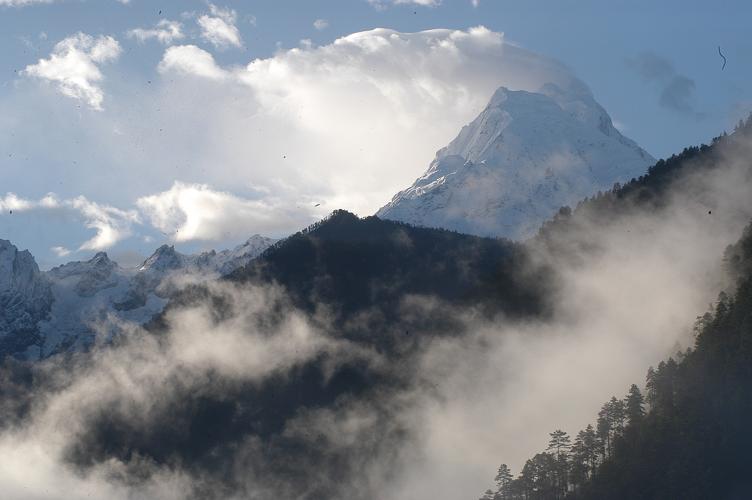
October 6th, packing up camp beside the Druksum river we headed down the valley to a town called Bayi before climbing up again over a high pass at 4600m. The day was cloudy and this restricted our views out towards the mountains. Two towering peaks dominate the area overlooking the Yarlung Tsangpo river gorge and its great bend. Gyala Pelri 7294m and Namchi Barwa 7756m however remained hidden in the cloud as snow covered the truck and a chilling wind kicked up.

Photo - Waking up to this! Gyala Pelri as seen from our camp in the Tongjuk catchment.

The road dropped away significantly on the back side of the pass. The south fork of the Tongjuk river flowed roadside the entire length of the valley and our altimetres showed a 1000m drop in elevation. Its volume at around 25 cumecs is unlike most other Tibetean rivers. Us kiwi's being used to steep technical rivers agreed it looked good to go, it begged to be descended for the first time. Rain overnight kept its flow in a paddleable range the next day we worked away at its lower 10km and 300m drop in elevation, paddling continously for five draining hours.
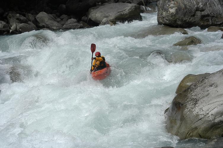


Oct 8th - Tongjuk north fork, class 4-5.
Needing a more capable truck, one that could get us higher into the Tongjuk catchment we swung a deal with a local who worked in a nearby mill. With kayaks loaded we set off upriver through a couple of villages heavily involved in the milling of local pine trees.


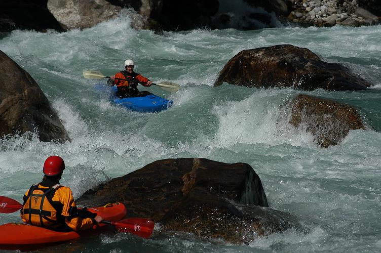
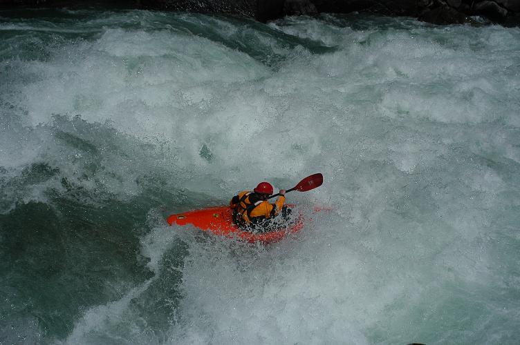
At 3090m the put in was lower down than our previous runs. The rivers flow was around 150 cumecs creating massive features that we did our utmost to avoid. Rapids that attempted to suck you towards bus sized holes, waves that folded overhead, flying paddle blades driving our kayaks from one side of the river to the other was the style of the day.

The north fork of the
Tongjuk is a classic.


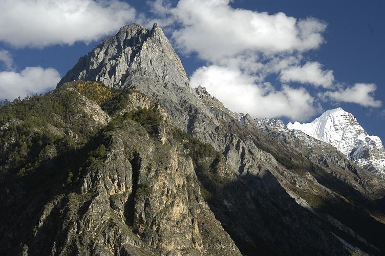
Photo - Typical Himalaya's, big rivers, big mountains, its a place that overwhelms you.
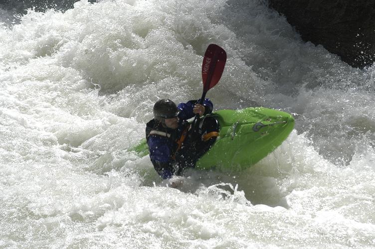
Dave Kwant gets set to ride it out.