Order calendars via zakshawphotography@gmail.com or the secure Paypal option below.

Order calendars via zakshawphotography@gmail.com or the secure Paypal option below.
My 2014 calendar was entirely photographed on the western side of New Zealand's Southern Alps. "Land in the West" is printed at a size of A4 with twelve calendar month pages displaying stunning outdoor environment photographs. Take a look at my Facebook page to view all twelve 2014 calendar images! Order here via Paypal or email me at zakshawphotography@gmail.com if you would prefer to pay with online banking. Thanks for your support!
Calendar sales within NZ
Calendar sales international

Monday, April 24, 2006

Upper Perth River, "Stunning scenery, cold alpine water, totally absorbing" Guidebook - NZ Whitewater

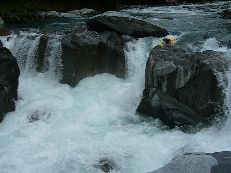
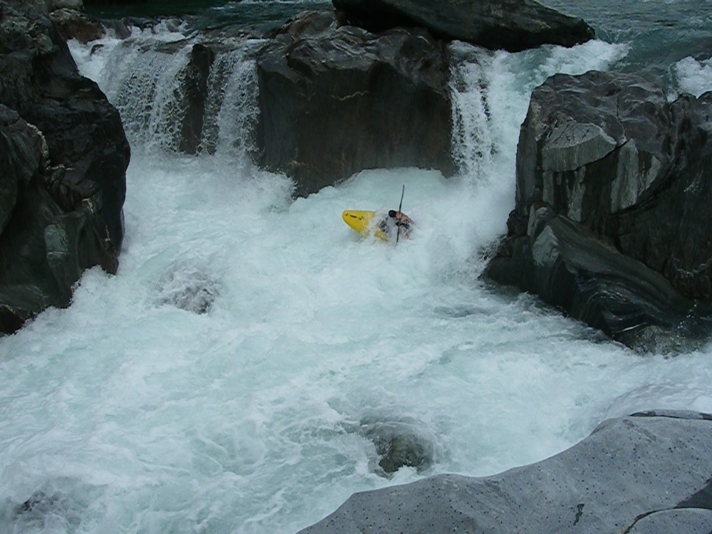
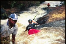
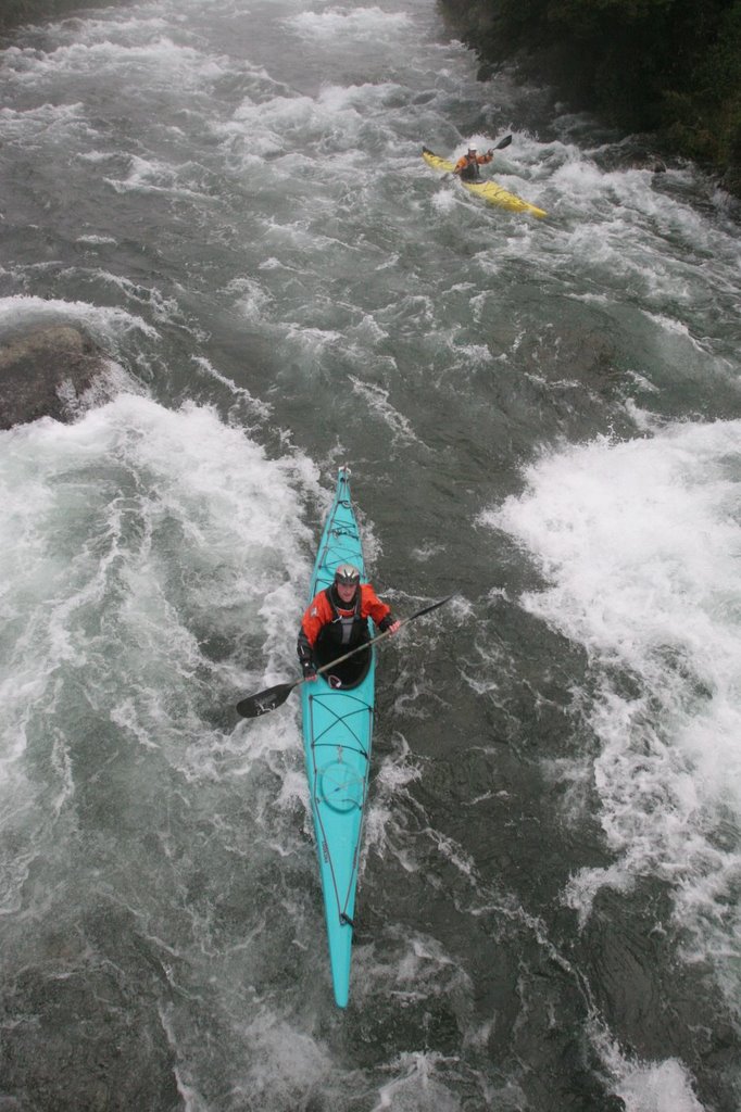
JJ Shepherd, Barney, Two scotsman, John? and myself managed to swing two clear blue bird days in the mighty Perth earlier this summer.
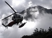
With a medium level we flew with James Scott upriver, dropped our overnight gear at Scone Hut including a good stash of food and an even better stash of wine!


We then lifted upwards again breifly to fly roughly 3km further up the Perth valley.
As with most West Coast heli landings we touched down on a small gravel bar, unloaded and then waited for the rest of the crew to return with our slingload of boats.


The chopper returned and we quickly unwrapped the boats, before sending our pilot on his way.
Its such a great feeling, sitting on a remote riverbank, your surrounded by huge eroding peaks and glaciers lying in the Garden of Eden. The air temp is fresh, you have just waved goodbye to the thing that put you there without breaking a sweat. You think about the distance between you and the car, the whitewater ahead, the cold alpine water.
Big days on the coast are fantastic!


We did have one minor setback, 6 paddlers and 7 paddles at put in!
Somehow we had loaded an extra bent shaft. The remedy, paddle 200m of class 4-5 then eddy out, walk up the river bank and take your turn at getting the paddle down river left to Scone Hut!

There was no hurry to get down to the hut, (not that the Upper Perth is going to let you do that anyway!)Lots of scouting was required, and the photo ops were plentiful, we arrived at Scone Hut unscathed in 3.5-4hrs


Day two - the regular Perth run took 5 hours. The hard stuff immediately below Scone Hut is some of the best boat scoutable class 4-5 in the country. Its classic, continous, steep technical moves one after the other.


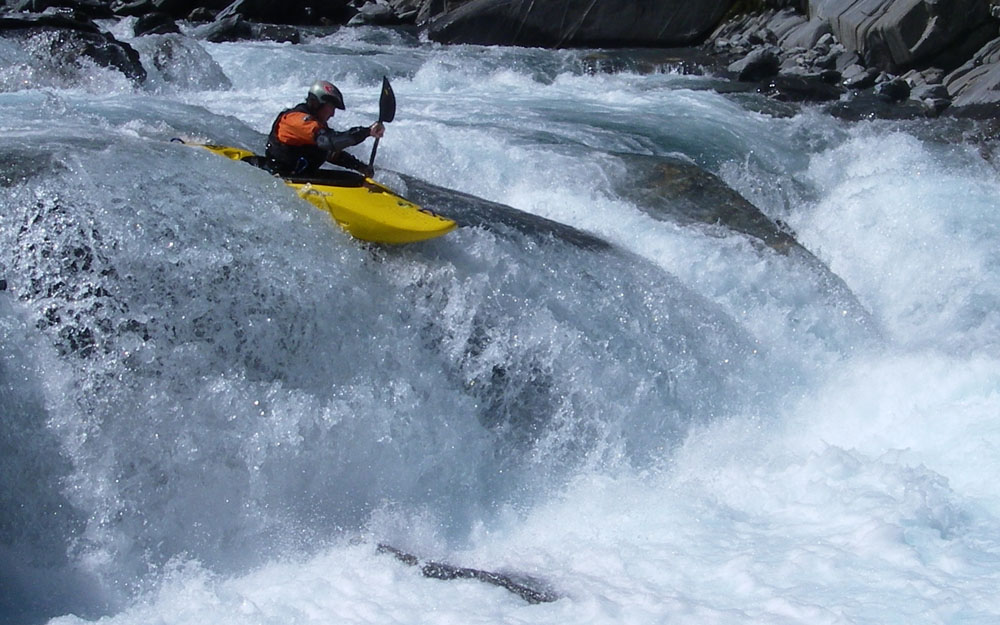
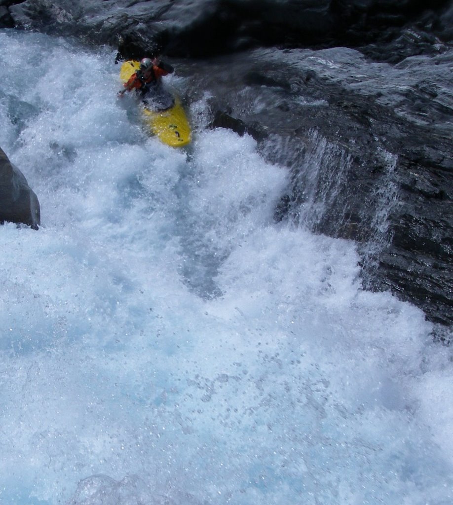
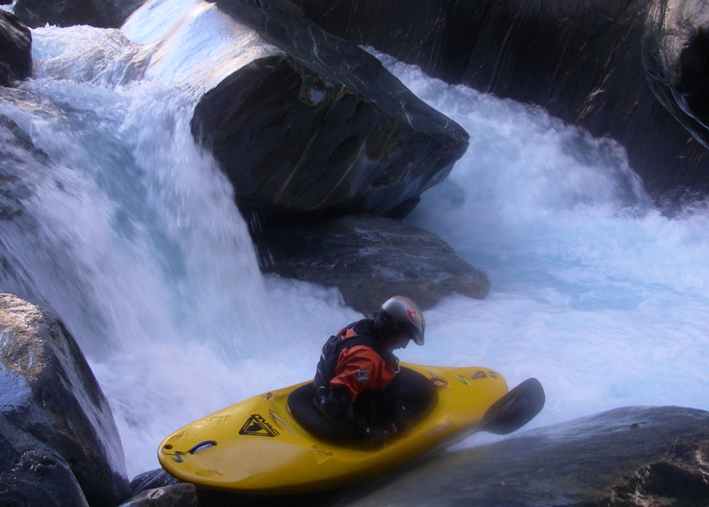
Photos in order are
James Scott West Coast Taxi service
Pinballs, JJ drops in.
JJ at Scone Hut
Scotsman #1 sticks his boof in the Upper 3km

Sunday, April 16, 2006

Source to sea completed on the Buller River, 177km in 10 1/2 hrs!

Rain finally arrived in its true fashion for the West Coast this last week.
Ben a.k.a "action jackson" and myself took the oportuntity to make the most of a big flow, completing a full source to sea of the Buller river 177km, in ten and a half hours.
We pushed off from Lake Rotoiti near the settlement of St Arnaud, high in the Nelson Lakes National Park at 7.20 am. With heavy fog restricting our vision downstream this made the inital 10km of class three whitewater more challenging.
We had waited patiently for the river to swell to its highest level of the summer before attepting to break the fastest source to sea time. The trip was originally set by two reputable folk of the whitewater community in 15hrs, whilst our descent was equally about the scenery and quality of huge volume whitewater we also had our minds set on smashing the previous time and setting a new standard!
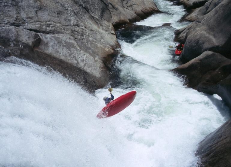
Ariki Falls proved to the crux of the journey, the 500m length of class four turbulent water demanded focused eyes, our intended lines were made (just). Any "out of boat" experience would have had serious consequences.


We pushed throught the final 80km riding the backside of the flooded bubble. Whilst this last leg was mostly class one we still managed to travel at a rate of 15 km per hour and arrived on the coast 20 minutes before dark to huge surf and one last challenge to finish the trip.
Ben boldly dropped in on a huge set and took a beating but managed to gain control and land ashore, I attempted to time my line in a make it clean, it was not to be.
The nose of my kayak plunged into the bottom of a huge wave and soon I felt myself flying over the falls headed for punishment! I rolled somehow still in my kayak and dragged my tired body ashore.


Total time - 10. 24 min
Length - (we think 177km)
Flow 2143 cumecs peak flow at sea gauge
The time to beat has been set!

Tuesday, March 28, 2006

Upper Hokitika


One of the best days this season...
Jason Arbetter and myself flew in on a spectacular day in March.


With just two of us in there we certainly felt a little exposed,
but with good judgement
and clean lines we came away unscathed.
It took five hours to descend through the commiting gorges.

Images
This one is brand new
Last big one
Into the 2nd gorge
The Gates of Argonath
Entrance move


Photos, by Jason Arbetter

Friday, March 17, 2006

The Arahura, perfect flow


Where? Arahura River, New Zealand.

Put in - Styx Saddle

Crew - Those who were there.


After a period of super low flows on the West Coast of the South Island we finally got some rain and the Arahura flowed at optimum level.
The sun beamed all day, the moves were as good as they get
and we were ready to partake!

Rapids in order

Dent Falls
Cesspit
First Boof

Images by Jason Arbetter.

Wednesday, February 15, 2006

The Exposed Southwest Coast

Bird Sound to Cape Disappointment – South Georgia

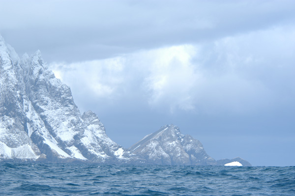
Bird Sound is the passage of water separating the mainland of South Georgia from the small islands to the north. In times of bad weather and swell the narrow slot can turn into a turbulent confused passage of crashing whitewater.
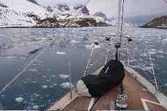
A weather window allowed the kayakers to again cover good distance as they rounded the northern bays on route down the exposed southwest coast. Temperatures plummeted encasing the kayaks in ice, sea spray froze on contact with everything.
Our passage through bird sound was uneventful as the prevailing northerly winds calmed. Massive tabular icebergs were more plentiful on the southern coast in varying shapes and sizes.
Holmstrand – 23rd Oct the day involved eight hours of paddling for the boys into a SW breeze continuing the trend of headwinds. All day we moved along rugged coastline, un-charted areas of coast where sea depths are often not known. We kept a watchful eye on the depth sounder, as contact with any un-chartered rock would have had serious repercussions.
Bays and beaches were packed with small blocks of brash ice and huge constricted glaciers.
The night fell with an amazing light on the mountains and calm winds, yet still bitterly cold.

25th Holmstrand to Ducloz head – distance 27 nautical miles

Our entrance into anchorage at Ducloz head was a real test. Shallow reefs blocked a clear line and sporadic depths and clumps of kelp kept us guessing on the best way in to the protected area of the bay. Most anchorages on the southwest coast had specific protection from only one or two directions, reading weather maps and then predicting the sea conditions and what effect that may have on us should a storm suddenly hit or the weather suddenly come from another direction was our primary concern.
We set the zodiac in the water and set about with a handheld depth sounder trying to find the channel. Northhanger had a minimum depth necessary of 3.6 metres. Depths varied from 8 feet to 25 feet within a few metres either side of the channel and guiding the yacht in was often quite stressful. If things suddenly got really shallow the yacht would back off and try a different approach.
Ducloz head was packed with brash ice and trying anchor lines ashore was a tesing exercise, the zodiac was incredibly difficult to manouver through the ice chunks to attach lines or “springers” to rock bollards.

26th Ducloz head to Diaz Cove – distance 22 nautical miles, again cold conditions, the sun had not shone through for over ten days restricting temperatures to rise above 3 or four degrees. These temperatures combined with winds running off the ice and snow and the wet paddling conditions ensured the kayakers and yacht crew on watch often suffered freezing extremities.

27th Oct – 1pm we set off from Diaz Cove on route to the southern most point of South Georgia, Cape Disapointment. Sea depths of 30m+ suddenly dropped out to 10m and we were forced to move cautiously and change direction several times. Watching the sea swell and its movements we looked for piles, lumps and other sea swell movements potentially caused by shallow depths.
As we rounded Cape Disappoinotment the sun finally shone through illuminating icebergs, and the steep faces, gullies and rugged peaks of South Georgia were suddenly in all their glory, we were certainly not disappointed by the spectacle.
Rounding the corner the wind suddenly switched and blew onto our stern and we rode the swell past several bays before cruising up into Drygalski Fiord.

To be continued
Zak Shaw

Tuesday, February 14, 2006

South Georgia,Grytviken-Elsehul


It felt as if we had been traveling for a week when we finally set foot on Falkland Islands soil. After flights from New Zealand via Chile to the overcast, chilly conditions of Stanley, the Falkland Islands weather was appropriate and a good indication of a colder place to come.

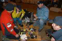
The team spent a few days packing, sorting gear, working with camera gear and preparing the yacht for its voyage across the South Atlantic.
Conditions were good, despite sickness (I felt just a little sick) we made great time crossing the 1400km passage in five and a half days.
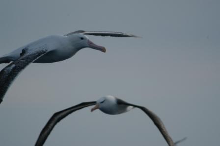
During the passage huge wandering and black browed albatross circled the yacht.
Towering cloud mass gave our first indication of “land ahoy” and we were greeted by South Georgia for the first time. Glaciers protruding to sea level, ice, incredibly steep peaks overlooking us and cold winds. The atmosphere was intense, it grabbed you and said “I make the rules” It had such a commanding presence about it.

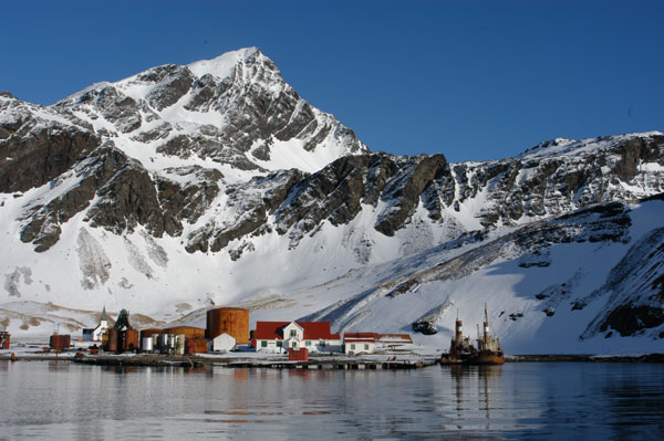
Grytviken is the main base on the island, home to a few scientists. The BAS (British Antarctic Survey) station, is situated here at King Edward point. Grytviken in its hayday was a booming operation during the whaling era. Today its ruins, flensing platforms, oil tanks, boilers, meat saws, whaling vessels are abandoned and rusting away.
The circumnavigation began here.
The boys set off in still conditions with heavy snow, massive snow flakes caked their gear, conditions were certainly not ideal, but one definitely got the impression things could be a lot worse, if we had 20 days like this things certainly wouldn’t be easy but it would increase the chances of it being possible.
More importantly they were on their way, and the distance was getting shorter with every stoke.

Good progress through the first three days paddling was soon brought to an abrupt halt when strong northerly winds pinned the kayakers down at “Salisbury Plains” !7th Oct.
20th Oct paddlers reach “Elsehul” paddling in huge seas, the team struggled into rough conditions with poor visibility.
Elsehul had a reputation for being a very windy anchorage. On a few occasions as we entered the narrow entrance to Elsehul the thought was there to turn around an back off as the passage of water we had to navigate to reach the head of the cove lay close to the sheer ice cliffs. Swell and strong winds were making us a little nervous, it was “touch and go”

From Elsehul the “kiwi kayakers” were keen to restock their food supplies. A supply of Backcoutry Freeze dry meals, lunch and breakfast packs were handed over in prepartion for the beginning of the southern coastline.
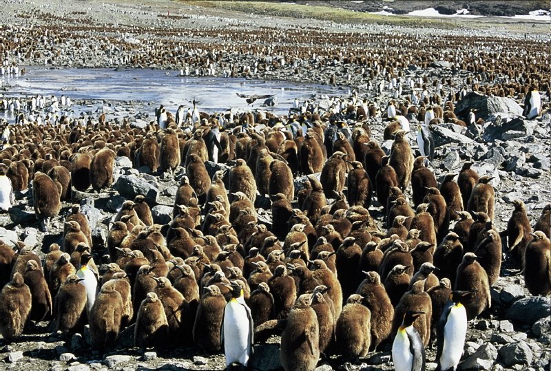
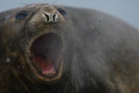
Camped onshore, surrounded by Elephant seals, King and Gentoo Penguins, Fur seals and all the bodily fluids they excrete. The place stunk, and the creek flowing above the tent froze over solid that afternoon.

Elsehul is close to the northern most part of the island, the gap dividing the NE and South coasts at this point is very narrow so we made the journey overland to check out Undine Bay. We gave the sporadically placed Fur seals their space. In a months time the whole hillside would be heaving with mating, fighting male and female seals and to walk amongst them then would have been a serious battle, maybe even suicidal.

To be continued
Zak Shaw

Friday, February 03, 2006

Around South Georgia


Overview

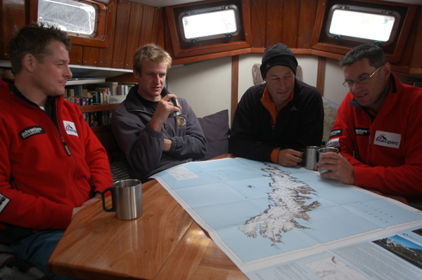
During the months of October and November of 2005 I was fortunate enough to be invited along to assist a team called Adventure Philosophy. This is a New Zealand expedition team comprised of Graham Charles, Mark Jones and Marcus Waters who were aiming to be the first to circumnavigate the Island of South Georgia in sea kayaks.
Adventure Philosophy had previously been the first to sea kayak the entire length of the Antarctic Peninsula in 2001 and then in 2003 they sea kayaked 500km up the Beagal Channel, then traded paddles for crampons and pioneered a new route through the rugged Cordillera Darwin in Terra Del Fuego, Southern Chilie.

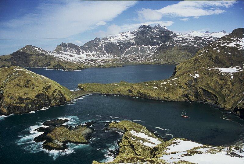
Oct 2005, Adventure Philosophy flew from NZ to the Falkland Islands and launched an attempt. Sharing a latitude with Cape Horn, South Georgia is situated 1400km East of the Falkland Islands and is exposed to some of the most inhospitable weather on the planet.
Sailing onboard the “Northhanger” a 54 four steel hulled ketch specifically designed for travel in the Polar regions, the team set off Oct 6th from Stanley the Falkland Islands main center and headed towards the Antarctic convergence on route to South Georgia.
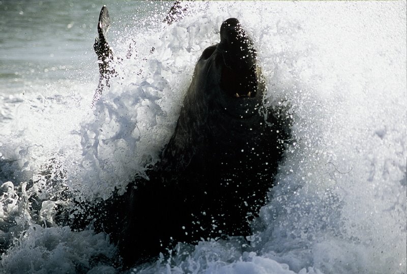
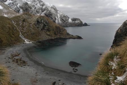
South Georgia is a wildlife haven and has been referred to as the “Serengeti of the Polar regions” Returning in their thousands in spring each year masses of Elephant seals, Fur Seals, Albatross, and Penguins all congregate on the shores of this remote island to breed.
The numbers of each species are so prolific the beaches with which one would use to land ashore or camp are fiercely guarded and real estate is a scarce commodity.

Kevin Nicolas and myself fulfilled the role of crew members aboard “Northhanger” and were responsible for the supply of weather information to the kayakers as they progressed. Equipped with video and stills camera’s the “2nd unit” would often gain high vantage points in order to capture the kayakers paddling along the precipitous snow covered coastline.

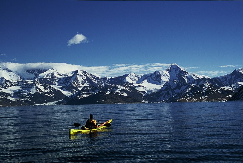
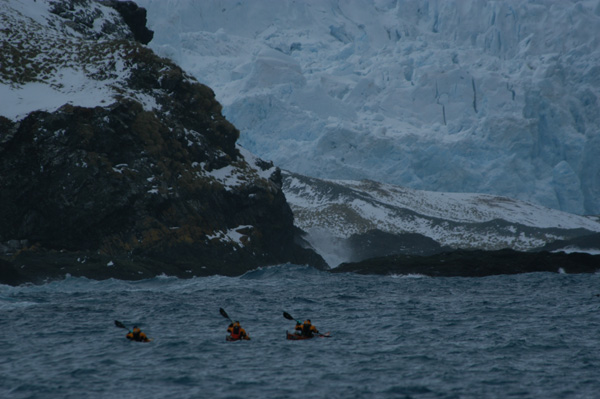
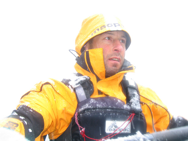
The circumnavigation took 19 days to complete. Paddling in demanding conditions. The kayakers were tested the entire time by temperatures so cold ice formed on the kayaks whilst paddling and the winds were rarely blowing in their favour. The freezing conditions combined with the constant contact with turbulent seas and head winds made progress slow and incredibly hard work.
South Georgia’s southwest coast was the most exposed section of the journey. Huge peaks overlooking the sea, the terminal faces of glaciers protruding into the ocean and the predominantly westerly weather systems racing across out of the Drake Passage. Once the team rounded the southern most point of the island “Cape Disappointment” and continued around into the slightly more protected bays of the East coast they knew the trip was in the bag.
Before Returning to the Falkland islands the team retraced Sir Ernest Shacklton’s footsteps crossing the island from Posession Bay over into King Haakon Bay a trail Shacklton and his men traveled during their British Trans- Antarctic Expedition in 1914.

Wednesday, August 24, 2005

Upper Cherry Creek, California


Upper Cherry Creek 05


The optimum water level window for Upper Cherry Creek during this season lasted all of about four days. One day it was on the high side of good the next it was like the plug had been pulled and its level just dried up.
During my season of 2004 in California I made the 11mile hike up into the Stanislaus National Park. At the time I was near to completing a prescription of the drug “Larium” as Id just arrived in the States from Kenya. Our accommodation for our first night was in the pine forest sleeping on huge granite slabs. One side effect of this anti malarial drug is you have really cool dreams and tend to hallucinate! In the middle of the night I woke up believing I was lying on a large sheet of ice. I began to slowly and very carefully crawl across it to escape potentially falling through. I crawled within a foot or two of one of my paddling mates, he asked “what are you doing dude” I replied “I don’t want to fall through this sheet of ice” His response of loud crazed laughter snapped me out of it pretty quick and I returned to my thermarest to sleep.
We then spent the following two days scouting, paddling and portaging some of the hardest whitewater I’ve seen.
This season with a more confident mind set on class five I was keen to set the record straight.
We began the hike at 3pm keen on making short work of the usually six-seven hour slog up the Kibbie ridge trail to the heads of the UCC catchment and a place known as Lord Meadow.
At 8pm we lost light and decided to wait until the following morning before finishing the hike.
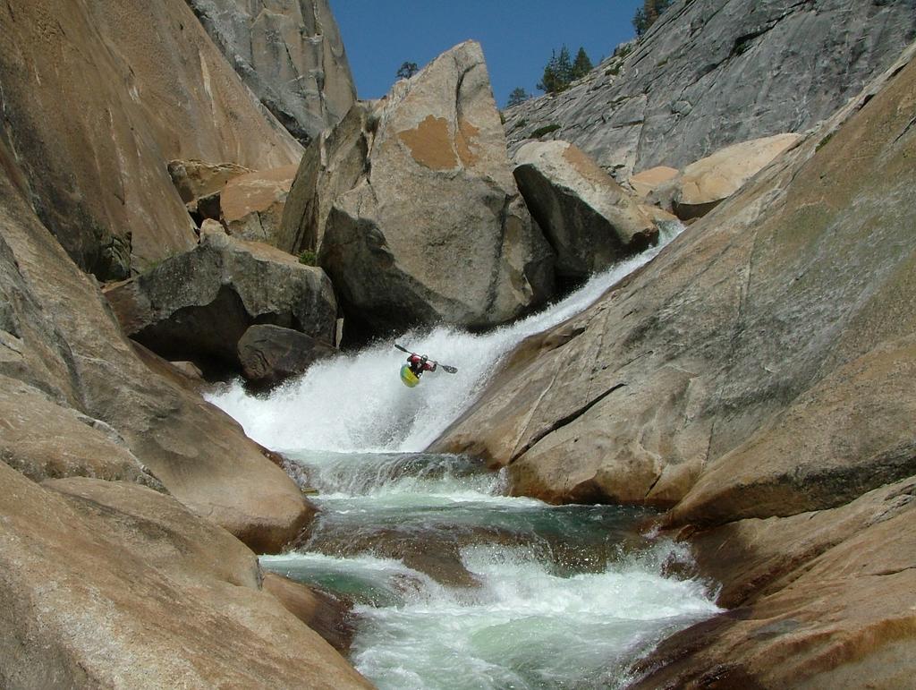
The flow at the put in was low but we gradually made our way downriver to Cherry Bomb Gorge. This gorge is a phenomenal sight in that it appears that two huge smooth granite domes have literally been split in half by the flow of the river.
Cherry Bomb falls is the first drop proper into the canyon. Once you run this entrance there is no going back. What follows is must run drop after must run drop until the canyons walls gradually taper off and open up.
To cut a long story short, due to the low flow the pool at the bottom of the falls, was a green. Meaning it was not as aerated as it would normally be at the higher water levels.
I landed hard with my chest folding around the cockpit of my boat, my ribs crunched into the plastic. I downed some pain killers and after 20minutes sucked up the pain and made an attempt to get out of the gorge. Trent Garnham and Phil Boyer helped me with the lines off the next three must run drops and I was able to get out of the canyon.
Another team member and I walked out from "Flintstone" (an old camp downstream) leaving my kayak and gear. We arrived at the take out 6hrs later; the rest of our crew bombed the remainder of the run and therefore completed the entire 12 mile whitewater section in one day.
I returned the other week to get all my gear.
The doc says I’m just badly bruised, they definitely felt broken at the time! and I should be back in action in a few weeks. Check out these shots Trent and I captured during the trip.

Zak